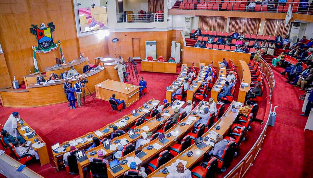
The Lagos State House of Assembly has adopted the recommendations of its Committee on Physical Planning and E-GIS regarding a bill to establish the Lagos Geographic Information Service (LAGIS).
The proposed law, titled “A Bill for a Law to Establish the Lagos Geographic Information Service, for the Harmonisation of all Geographic Information Service Projects, to Provide a Computerised Central Database and Base Map Integrated Software for all Land Related Records and other Connected Matters,” seeks to modernize land administration in the state.
The bill aims to deliver efficient, reliable, and transparent services to stakeholders, while also improving land management processes through technology.
At the House plenary session on March 5, 2024, the bill was debated and referred to the Committee on Physical Planning and E-GIS for further examination. As part of its legislative review, the committee conducted a public hearing, inviting contributions from stakeholders, and received a memorandum on the proposed law.

Presenting the committee’s report, Chairman Hon. Ogunkelu Oluwadahunsi emphasized the importance of the bill, noting that it represents a major step forward in integrating governance with advanced information technology systems. He said the legislation would harmonize all geographic information service projects under a single computerized platform, enabling a central database and improving data management efficiency across the state.

Ogunkelu further stated that the bill would help curb the illegal acquisition of geographic data, while fostering innovation through improved spatial capabilities. According to him, the adoption of the law would yield significant social and environmental benefits for Lagos State.

Following the presentation, members of the Assembly unanimously adopted the committee’s recommendations as the official resolution of the House.


