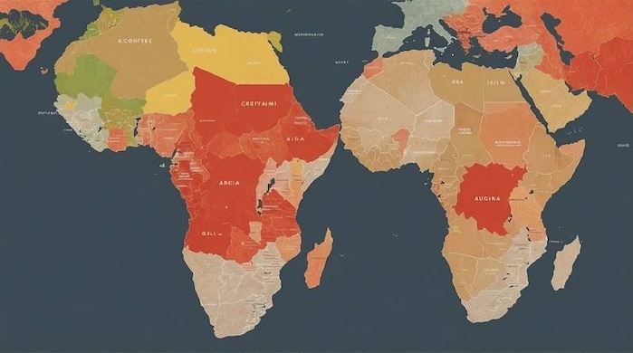
The African Union (AU) has thrown its weight behind a global campaign demanding the replacement of the widely used Mercator projection map, which has long been criticized for distorting the size of Africa and diminishing its true global stature.
The AU’s support comes through the office of Selma Malika Haddadi, Deputy Chairperson of the AU Commission, who told Reuters that the misrepresentation of Africa on world maps has broader consequences than many realize.

“It might seem to be just a map, but in reality, it is not,” Haddadi said, stressing that skewed depictions shape the way the world perceives Africa across education, media, and even international policymaking.
The ‘Correct The Map’ Campaign
The initiative, known as the “Correct The Map” campaign, is spearheaded by advocacy groups Africa No Filter and Speak Up Africa. Its central argument is that the Mercator projection—first developed in 1569—systematically downplays Africa’s landmass, thereby reinforcing negative stereotypes about its influence and potential.
As of Wednesday, the campaign’s online petition was just 800 signatures short of its 5,000 target, reflecting growing international interest.

In campaign materials, organizers explained:
“By correcting the map, we aim to shift perceptions and highlight the true scale, power, and potential of the African continent.”
The campaign proposes adopting the Equal Earth projection, designed in 2017 by cartographer Tom Patterson and colleagues. Unlike the Mercator, the Equal Earth map is an equal-area projection, meaning it preserves the relative sizes of countries and continents, even if their shapes appear somewhat distorted.

Why the Mercator Distorts Africa
The Mercator projection, developed by Flemish cartographer Gerardus Mercator in 1569, became the standard during Europe’s age of exploration and colonial expansion, because it allowed sailors to plot straight-line courses without constantly adjusting their compasses.
But this mathematical convenience came at a cost: it grossly exaggerated the size of landmasses closer to the poles while shrinking those near the equator.
For example, Africa is about three times the size of Greenland, yet on the Mercator map, they appear roughly equal.
Cartographer Patterson described this as a “grotesque distortion.”

“If you’re using the Mercator map as a world map, say, in the classroom, students would just have a completely warped view of the size of countries in the world,” Patterson told NPR.
Shifts in Global Mapping Standards
Some major institutions have already started moving away from the Mercator. NASA and National Geographic now use the Equal Earth projection, while the World Bank told NPR it is also phasing out the Mercator in favour of Equal Earth, citing its commitment to “accurate representation of all people, on all platforms.”

Google Maps made the Mercator projection optional on its desktop version in 2018, allowing users to switch views.
Nevertheless, many governments, schools, and organizations continue to rely on the outdated standard.
Appeal to the United Nations
Organizers of the campaign confirmed that they have written to the United Nations, urging it to take a leadership role in shifting global cartographic standards. The UN has yet to respond to requests for comment.
The AU and its partners insist the move is not symbolic but deeply consequential.

“By making this change, we empower future generations to view Africa not through a lens of distortion or disrespect, but through one of clarity, respect, and African opportunity,” the campaign’s statement read.
A Continent Reclaiming Its Image
Analysts argue that correcting the world map is part of a broader movement for Africa to reclaim its global narrative, challenging stereotypes and ensuring fairer representation in every field—from trade to education.

The campaign’s momentum suggests that a centuries-old Eurocentric cartographic tool may finally be replaced with a map that tells the world a more accurate story of Africa’s scale and significance.


